The Snowbird Tectonic Zone (STZ) is a ca. 2800 km geophysically defined lineament that bisects the western Churchill Province, divided it into the northwestern Rae and southeastern Hearne domain (or subprovinces). The easternmost Rae domain is underlain by an extensive (>20,000 km2) area of high P granulite interpreted to be representative of lower continental crust.
PROJECTS
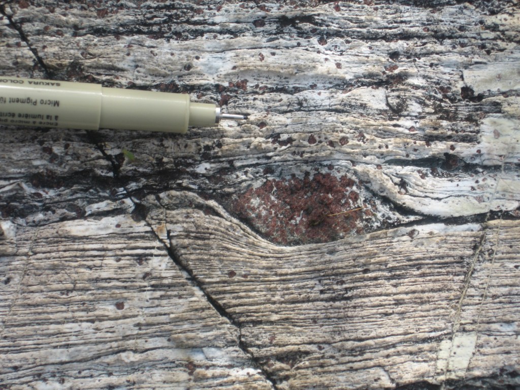
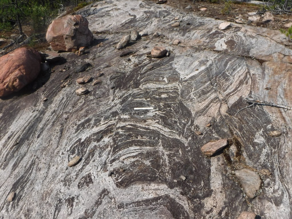
Localization within the lower continental crust: timing and significance of the Cora Lake shear zone
Regan et al., 2014 – CJES manuscript
Evolution of lower crustal behavior
Williams et al., 2014 – EPSL
Leslie et al., 2015 – JSG
Dumond et al., 2018 – Annual Reviews
Active margin processes in the lower continental crust during the Neoarchean
Regan et al., 2017a – PC Res
Age and Tectonic significance of the Snowbird Tectonic Zone
Existing geochronology and sample locations for paired U-Th-Pb and Hf analyses in zircon showing no major changes across the Snowbird Tectonic Zone with respect to 2.60 Ga plutonic rocks. These data demonstrate that the Rae and Hearne domains were likely together at 2.60 Ga.
Spatial and temporal evolution of the Angikuni Lake Region, Nunavut

